 ADSCivil
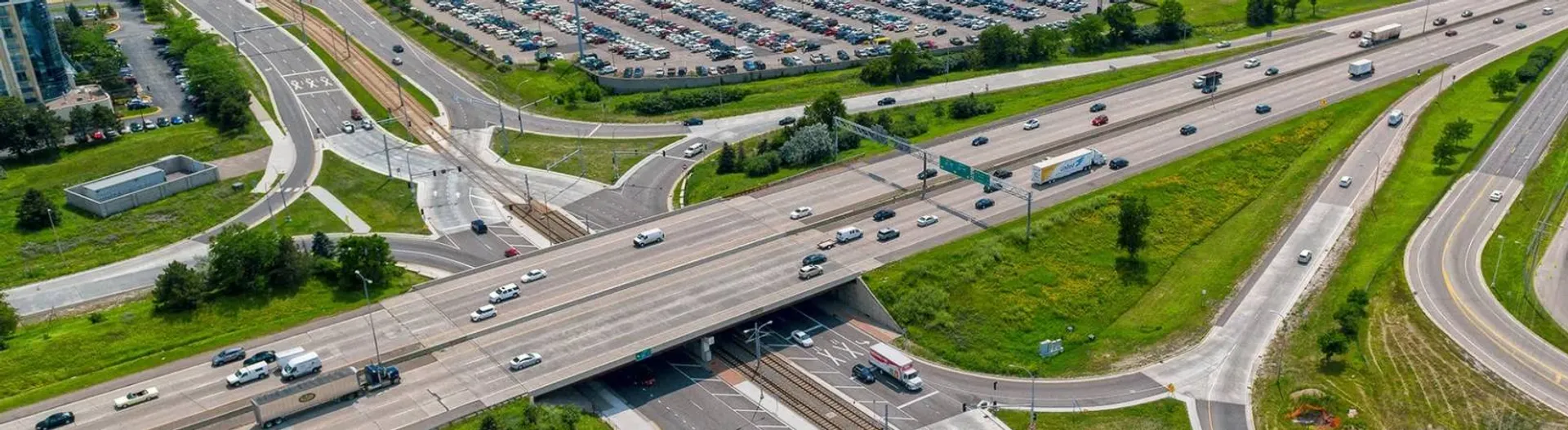
ADSCivil Road - Road and expressway design software
Professional, comprehensive road design software
01 — ADSCIVIL Road - Road and expressway design software
ADSCivil Road is a dedicated software solution developed specifically for road design. Covering every design stage — basic design, detailed engineering design, construction drawings and the 3D BIM model — it helps transport infrastructure engineers work more efficiently. ADSCivil Road not only simplifies the design process but also ensures strict compliance with technical standards, saving both time and cost on the project.

02 — Overview
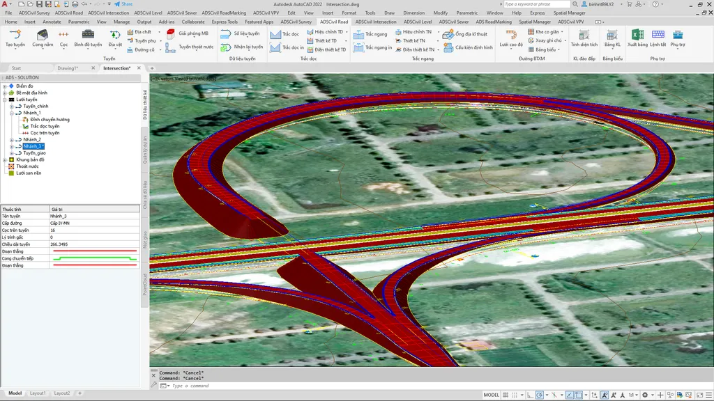
Expressway design with superelevation handling and compound curves
ADSCivil Road supports expressway alignment with visual superelevation handling to TCVN 5729-2012, ensuring safe and comfortable travel. Compound curves are set out precisely, combining multiple transition branches flexibly to suit the speed changes and traffic arrangements particular to expressways.
Upgrading and rehabilitating existing roads, making the most of what is already there
The software supports the rehabilitation of existing roads, reusing as much of the existing infrastructure as possible to reduce investment cost. Features such as resurfacing, widening into the existing formation and level optimisation bring the road up to modern standards while retaining the original structure.
Urban road design with integrated drainage and optimised construction space
By bringing in drainage design data from ADSCivil Sewer, the software coordinates stormwater, foul drainage and other utilities with the urban street layout. Flexible adjustment of carriageway, footway and median widths is particularly useful for optimising space where the site is constrained.
Mountain road design with ground stabilisation and sight distance assurance
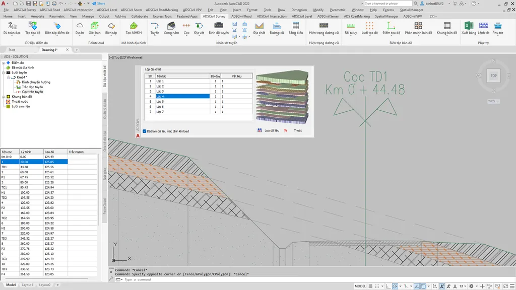
ADSCivil Road offers dedicated tools for mountain road design, stabilising the ground through the geological strata and reducing earthwork volumes. Graphical sight-line analysis assures sight distance along the whole route, including successive curves, keeping vehicles safe in difficult terrain.
Exporting a detailed BIM model for construction and project management
The software exports a detailed BIM model complete with earthwork quantities, terrain structure and other engineering data. These models support accurate construction and help optimise project management, keeping delivery efficient and cost-effective.
03 — Benefits
- Optimised design process: automates complex design steps, reducing errors and speeding up project delivery.
- Standards compliance: meets both national and international design regulations and standards in full.
- Time and cost savings: less manual work, and optimised construction and maintenance costs.
- Earthwork BIM model export: provides a detailed 3D BIM model for construction and project management.
- Data integration and synchronisation: connects easily with other modules such as ADSCivil Intersection and ADSCivil Sewer to keep everything consistent.
04 — Features
Expressway design
- Set out the centreline with compound curves.
- Customise superelevation and carriageway widening from a visual superelevation diagram.
- Supports complex transition curve design and superelevation adjustment to TCVN 5729-2012.
Urban road design
- Adjust carriageway, footway and median widths automatically from the design layout.
- Synchronise the drainage network with ADSCivil Sewer and combine construction excavations.
- Design the channel drain invert profile for optimal drainage where cross falls are shallow.

Mountain road design
- Lay out the route to suit hilly terrain, with support for curves sharing a tangent and serpentine curves.
- Determine the sight-line envelope automatically and audit sight distance along the whole route.
- Design side slopes that vary with the geology, keeping deep cuttings stable.

Upgrading and rehabilitating existing roads
- Resurface the carriageway, retaining the existing cross fall or adjusting it as required.
- Model the existing road's geology and calculate detailed earthwork quantities by stratum.
- Propose a centreline level that keeps the regulating course to a minimum.
Earthwork BIM model export
- Provides full information on earthwork quantities, terrain structure and related engineering data.
- Keeps construction accurate, reducing errors and additional cost.
- Supports effective project management, from tracking progress to controlling quality.

Starter
Try it before you decide
Don't let your project fall behind schedule or run into design difficulties — choose ADSCivil Road today to secure the quality and success of every project!